MAPS
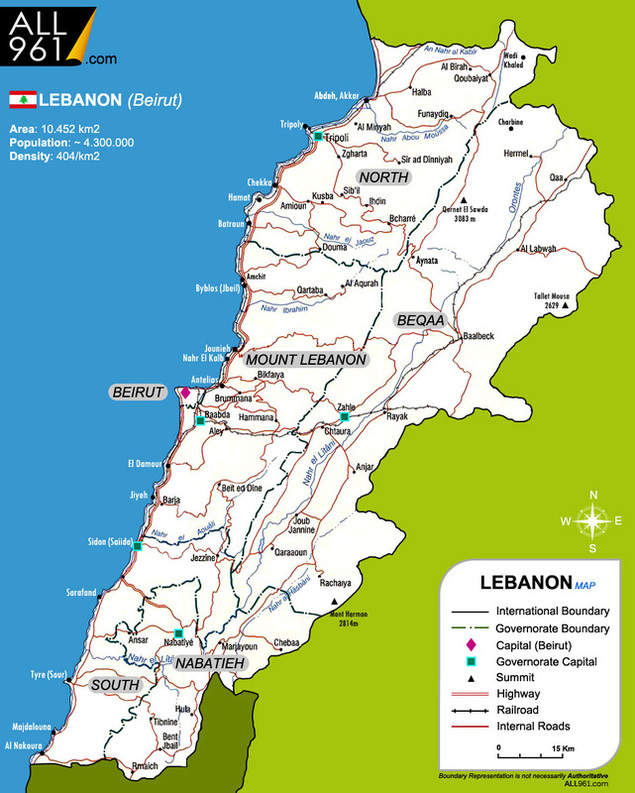
General Map of Lebanon
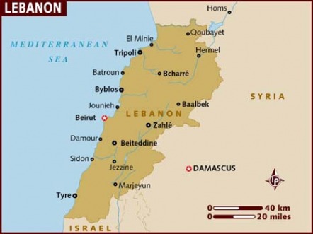
Lebanon is located on the eastern Mediterranean coast at 33°00'N latitude and 35°50'E longitude. The name Lebanon (also "Loubnan" or "Lebnan") is derived from the Aramaic word laban, meaning "white", a reference to the snow-capped Mount Lebanon.
The size of the country is 10,452 sq kilometers ( 4,042 sq miles).
The length of the coastline is 217 km (135 mi). Maritime claim is 12nm (nautical miles)
The width of the country varies from 40 to 89 km (25-55 miles).
Mountainous country; highest peak, Qornet el-Sawda, 3,088 m. (10,131 ft ).
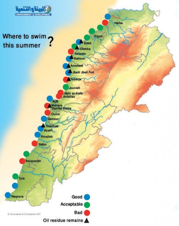
Current Environmental Issues: deforestation; soil erosion; desertification; air pollution in Beirut from vehicular traffic and the burning of industrial wastes; pollution of coastal waters from raw sewage and oil spills
View a DETAILED MAP of LEBANON
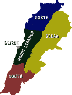
Main Districts of Lebanon and Municipalities
Municipality Information:
BatrounBecharre
Beit Meri -- Ain Saadeh
Beirut
Choueifat
Hazmieh
Jbail-Byblos
Jounieh
Tripoli
Zahleh & Maalaka
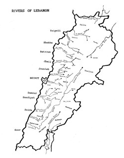
Map of Lebanon's Rivers
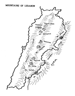
Map of Lebanon's Mountains
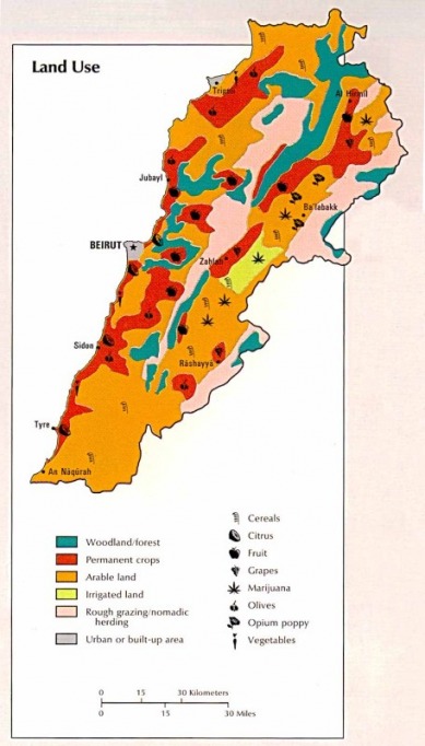
Land Use and Climate
Important Bird Areas in Lebanon
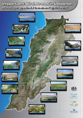
Click: Poster Enlarged
Following a three year research and conservation program the local NGOs A Rocha Lebanon and SPNL discovered 11 new sites classed by Birdlife International as Important Bird Areas. These are great sites to visit! Several locations are already described in our Directory in the National Reserves section. Check when they are open to the public and if they have facilities, because a number have little or no protection nor facilities. They can still be great places for the bird enthusiast to visit. More details can be found on the A Rocha website –
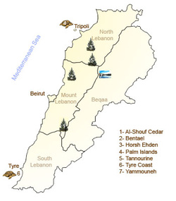
Map of National Reserves from the Lebanese Ministry of the Environment
